

Surveying & Mapping Drone Services
Get survey-grade data in days, not weeks. Deliverables ready for AutoCAD, ArcGIS, and Civil 3D.
- 500+ acres mapped
- ±1-2cm accuracy
- Delivery from 48 h
AESA-registered UAS operator no. ESPc8wo6u3b5mhl4
Get a quote in 24h
Tell us about your project. You'll receive a quote and turnaround time.
Trustedby165kdrone
10+ years of experience you can trust.
Certified drone pilots with thousands of flight hours.
Why use drones for mapping?
More ground covered, less time on site, and faster delivery.
Traditional Ground Survey
Old Way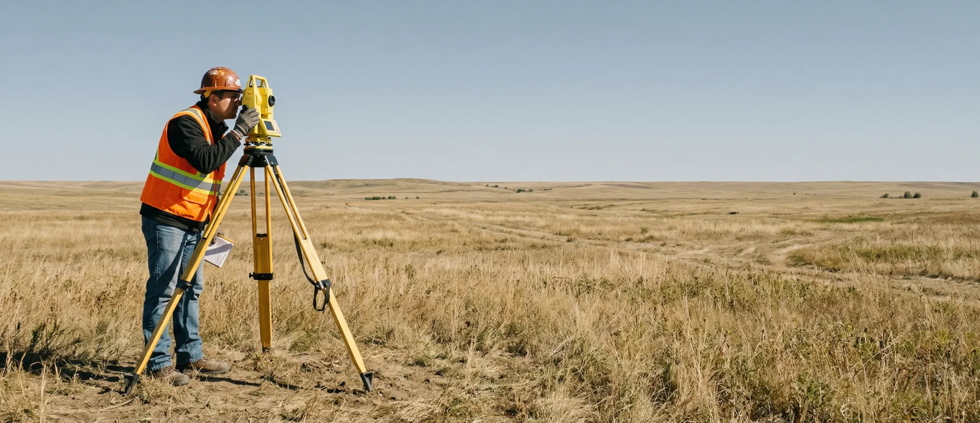
- High Cost
Requires large crews and multiple days on site.
- Weeks to Deliver
Manual data collection and processing bottlenecks.
- Sparse Data
Hundreds of points. Interpolated models lack detail.
- Site Disruption
Crews navigating active zones causes work stoppage.
DroneOfficial Mapping
New Way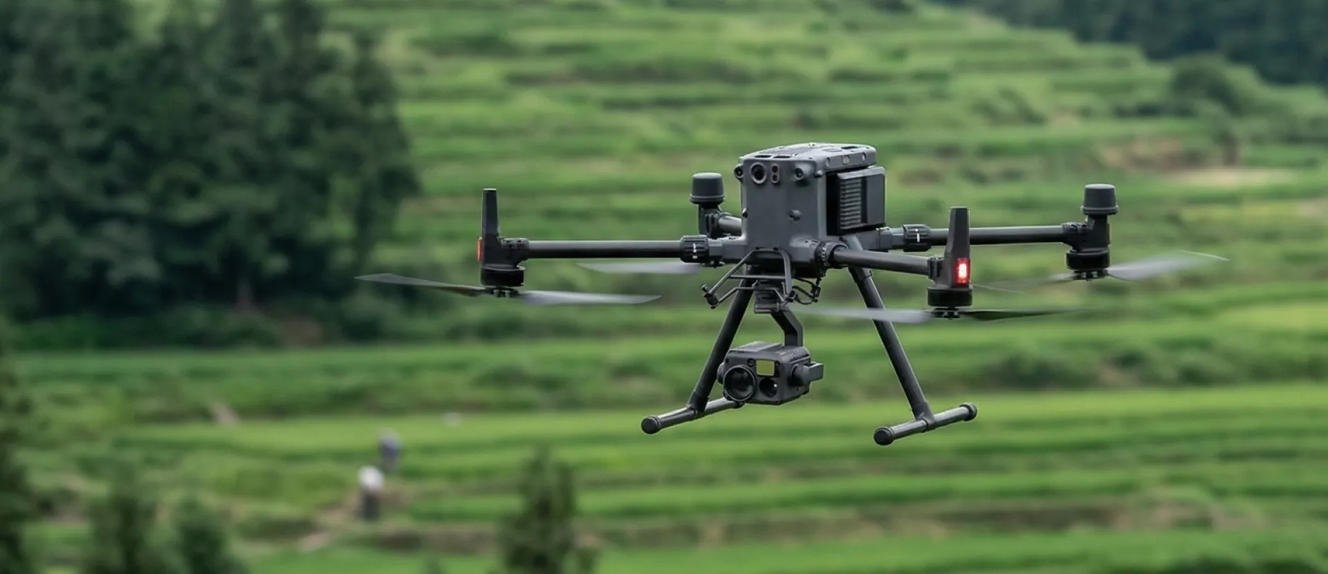
- 60–80% Cheaper
Less time working on site.
- 48-Hour Delivery
Faster capture and processing.
- Complete Data
Millions of measured points, not interpolated.
- Zero Disruption
Safe aerial capture keeps your ground operations running.
What you receive
Files ready for AutoCAD, ArcGIS, Civil 3D, and other industry tools.
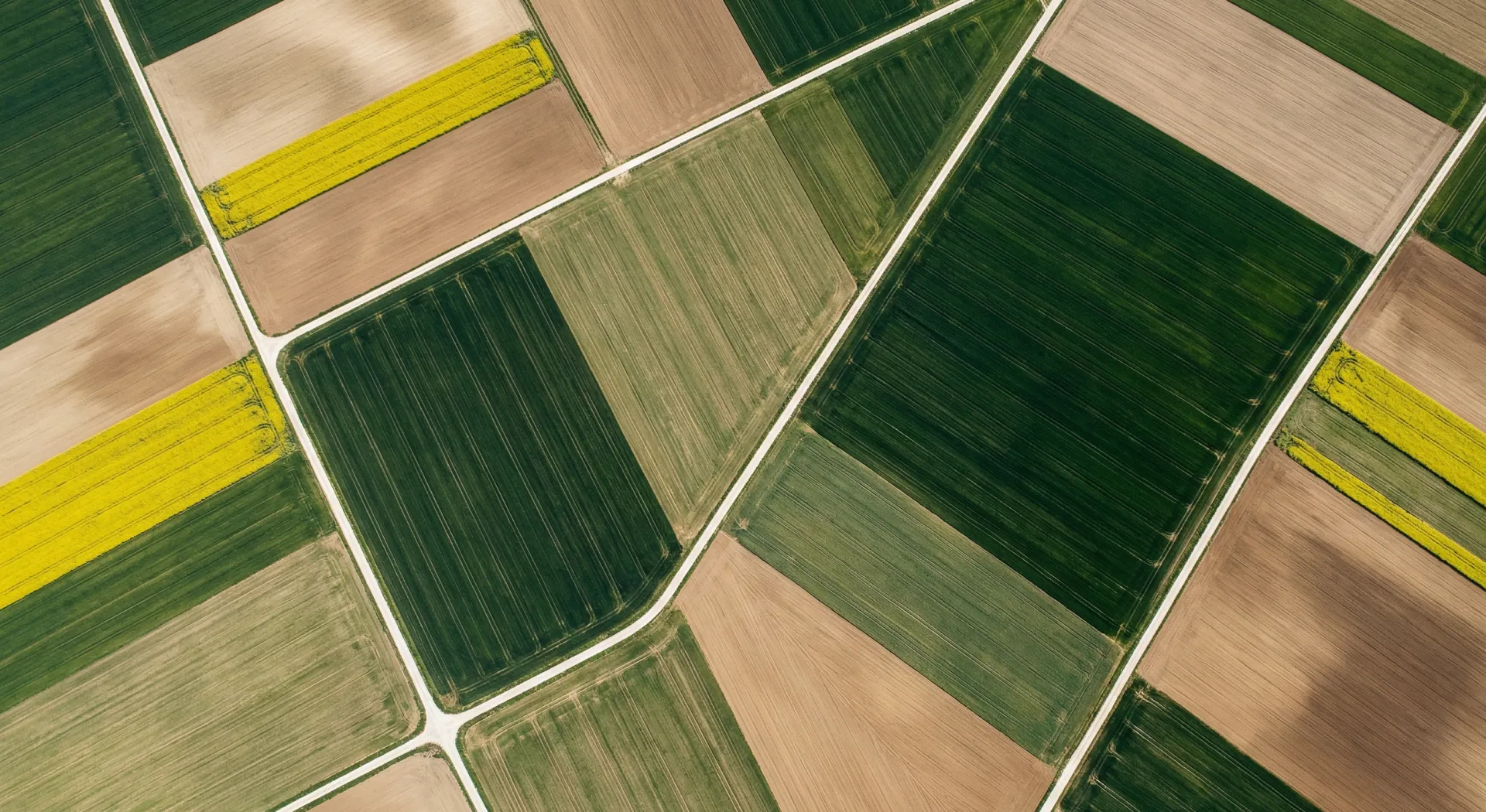
Orthomosaic Maps
Measure real distances and areas on a high-resolution map.
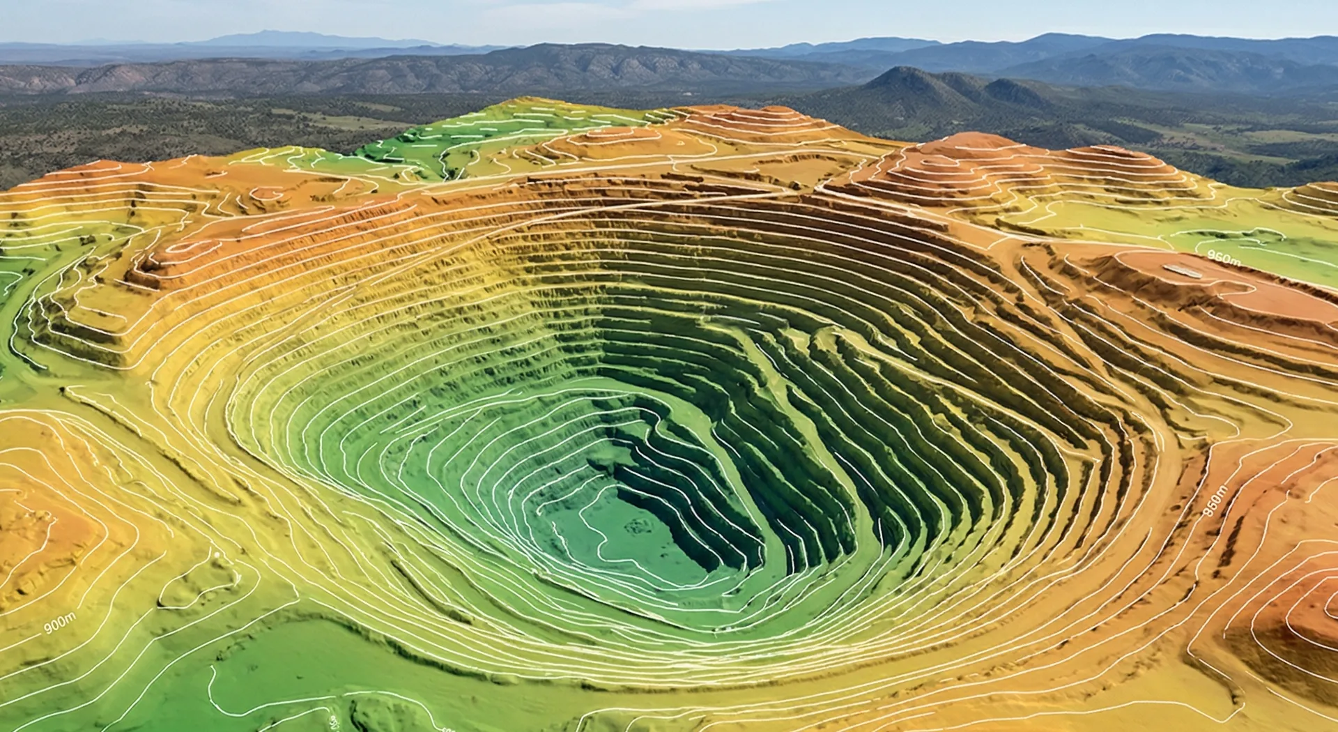
3D Models & Point Clouds
Calculate volumes and document terrain with 3D models and LiDAR point clouds.
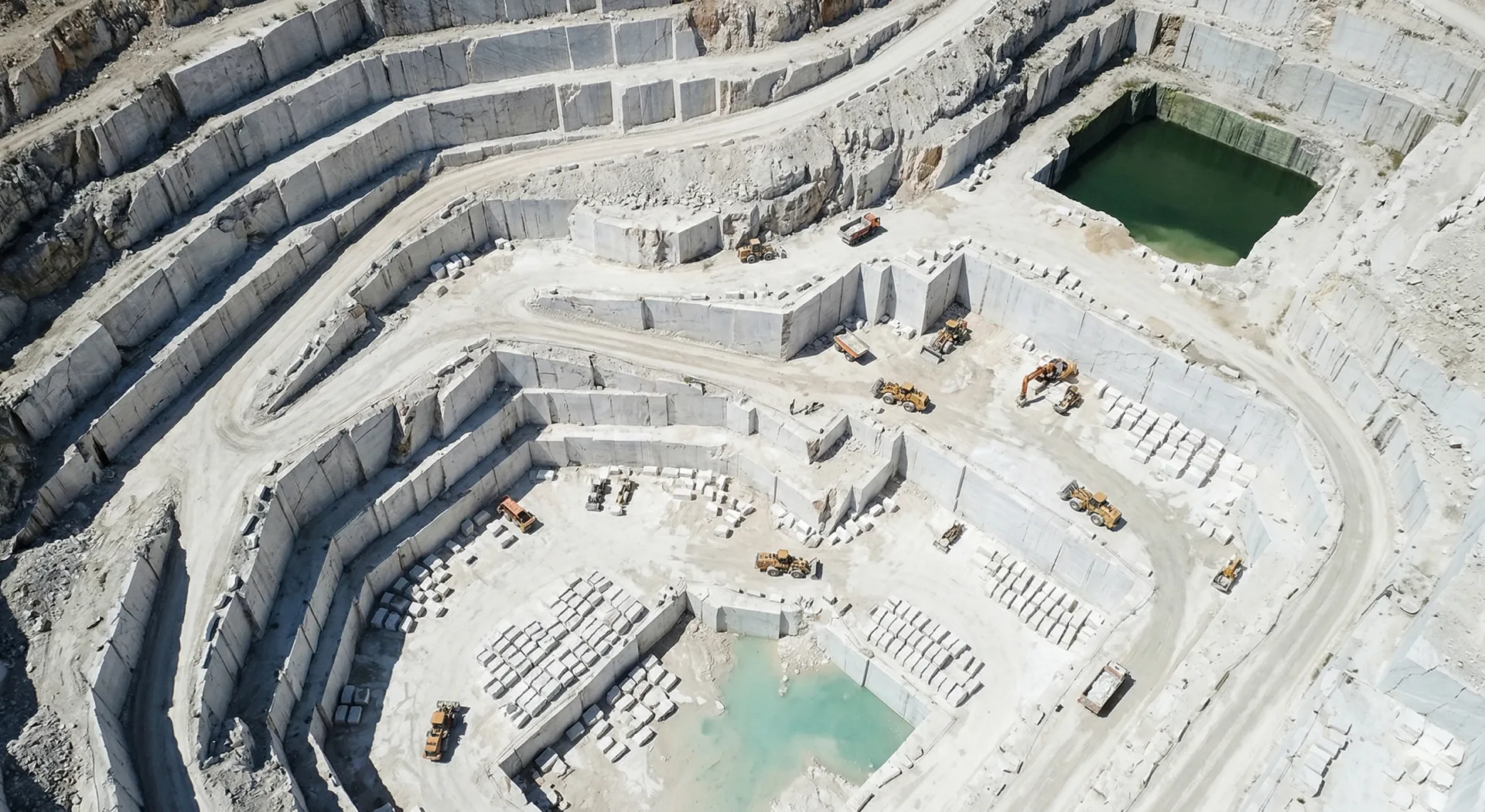
Topographic Surveys
Contour lines and elevation models ready for AutoCAD, Civil 3D, and ArcGIS.
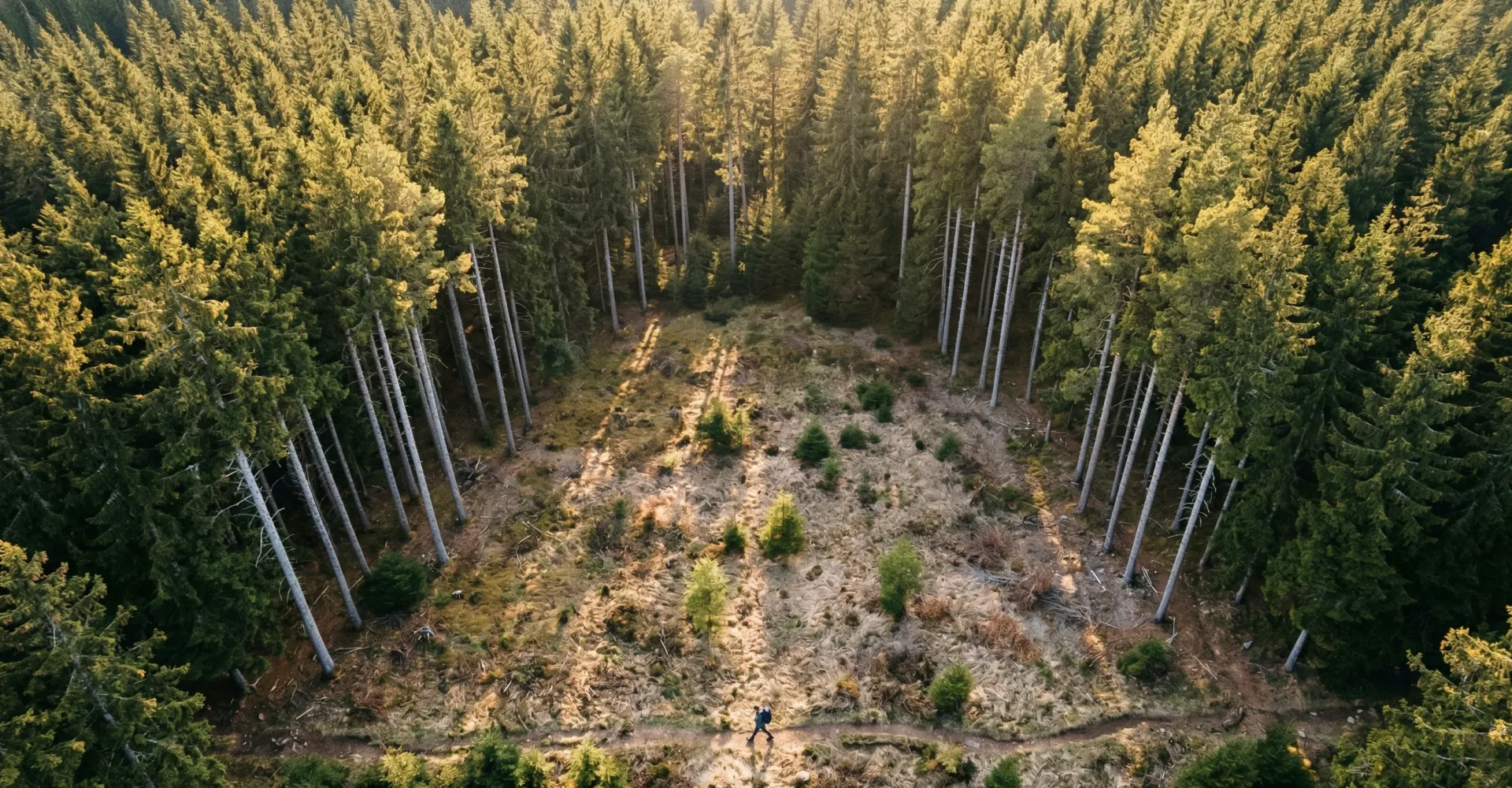
Progress & Change Detection
Track construction progress and earthwork with time-stamped comparisons.
Seamless CAD, GIS & Software Integration
Integrate the files directly into the software your team already uses. No conversions, no compatibility headaches.
Faster, more accurate mapping
Get maps, 3D models, and survey data with ±1-2cm accuracy in less time.
Survey-Grade Accuracy
Reliable measurements to ±1-2cm, verified with RTK and ground control points.
Rapid Turnaround
Receive your maps and 3D models within 24-72 hours of site departure.
CAD & GIS Ready
Files ready for AutoCAD, ArcGIS, and Civil 3D.
Reliable Compliance
Operated by EASA certified pilots with comprehensive liability insurance on every mission.
Where teams use
drone mapping
Reliable maps and measurements for your industry.
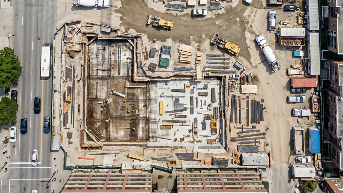 Construction
Construction & Earthwork
Measure volumes, track construction progress, and document every phase with survey-grade data. Construction drone services
Data processing for engineering
We process the data and deliver the files ready to work with, in days not weeks.
- Up to 500 acres mapped - in a single day
- 48-hour turnaround - for survey-grade topographic data
- Works with AutoCAD, ArcGIS, and Civil 3D - orthomosaics, 3D point clouds, and DEMs

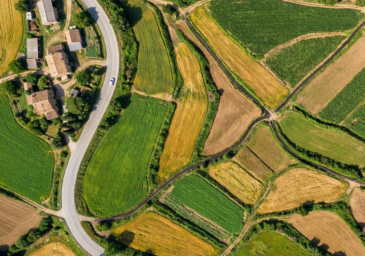
How it works
01. Tell Us About Your Project
Share site location, boundaries, and deliverables needed. We scope the mission and send a clear quote.
02. We Capture the Data
EASA certified pilots fly your site with ground control points for guaranteed accuracy.
03. Deliverables in 24–72h
Download georeferenced maps, models, and reports in the formats your team already uses.

Start your
survey
Get maps, volumes, and measurements ready to work with in 48 hours.
Request received!
We'll send pricing to your inbox within 24h.
Professional drone mapping achieves ±1–2 cm accuracy using RTK/PPK GNSS and ground control points (GCPs). This matches or exceeds traditional survey-grade standards for topographic maps, orthomosaics, and volumetric calculations.
Drone surveying typically costs €500–€3,000 per deployment depending on site size, terrain complexity, and deliverables required. Most projects achieve 60–80% cost savings compared to traditional ground surveys while completing in hours instead of weeks.
Standard deliverables include orthomosaic maps, 3D point clouds, digital elevation models (DEM/DSM/DTM), topographic contour maps, and volumetric reports. All files export in industry formats like GeoTIFF, .LAS, .OBJ, and .DXF — ready for AutoCAD, ArcGIS, Civil 3D, and other platforms.
A typical drone survey covers 200–500 acres per day with processed deliverables ready within 24–72 hours. Larger or more complex sites may require multiple flight missions planned across 2–3 days. We provide a clear timeline before every mission.
Drone surveys complement traditional methods by providing faster, more comprehensive data collection. For legal boundary surveys, a licensed surveyor certifies the final deliverables. Our drone data accelerates their workflow by 60–80%, reducing total project time and cost.
For legal boundary surveys and certified plats, yes — a licensed surveyor is required by law. Our drone data accelerates the surveyor's workflow by providing faster, more comprehensive site coverage. We coordinate directly with your surveyor or can recommend one.
Standard formats include GeoTIFF (orthomosaics), .LAS/.LAZ (point clouds), .OBJ (3D models), .DXF (CAD), and KML (Google Earth). All deliverables integrate with AutoCAD, ArcGIS, Pix4D, DroneDeploy, Civil 3D, Trimble, and Bentley platforms.
network
Global drone operators ready to deploy today.
years
Experienced, certified pilots for superior results.
coverage
Scalable drone operations with worldwide reach.
support
Need help? We're here for you - reach out anytime!